The AAPG/Datapages Combined Publications Database
Environmental Geosciences (DEG)
Figure
Environmental Geosciences (DEG); Year: 2020; Issue: March DOI: 10.1306/eg.09261919016
Return to Full Text
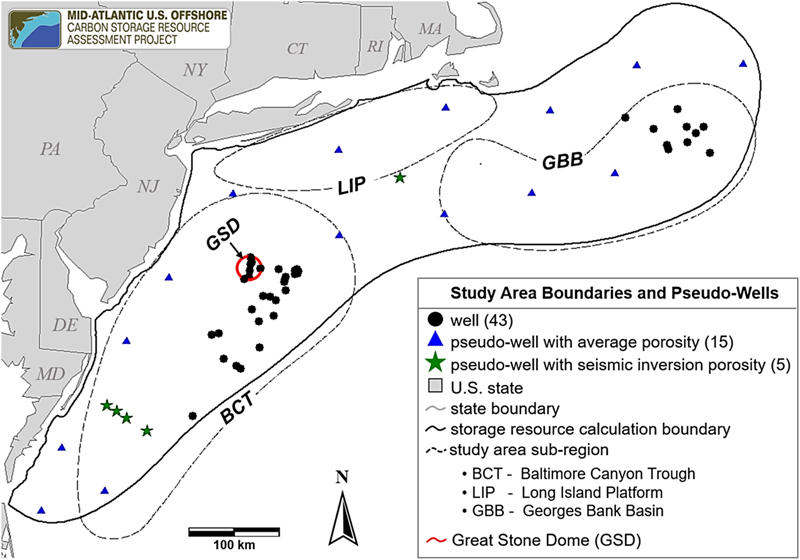
Figure 1. Map showing the locations of pseudowells used to constrain porosity map grids for storage resource calculations. CT = Connecticut; DE = Delaware; MA = Massachusetts; MD = Maryland; NJ = New Jersey; NY = New York; PA = Pennsylvania; RI = Rhode Island.
Figure 1. Map showing the locations of pseudowells used to constrain porosity map grids for storage resource calculations. CT = Connecticut; DE = Delaware; MA = Massachusetts; MD = Maryland; NJ = New Jersey; NY = New York; PA = Pennsylvania; RI = Rhode Island.